


MILO Voting District, Warren County, Iowa
About
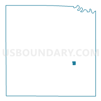
Outline

Summary
| Unique Area Identifier | 583628 |
| Name | MILO Voting District |
| County | Warren County |
| State | Iowa |
| Area (square miles) | 0.62 |
| Land Area (square miles) | 0.62 |
| Water Area (square miles) | 0.00 |
| % of Land Area | 100.00 |
| % of Water Area | 0.00 |
| Latitude of the Internal Point | 41.28872010 |
| Longtitude of the Internal Point | -93.43936910 |
Maps


Graphs
Select a template below for downloading or customizing gragh for MILO Voting District, Warren County, Iowa


Neighbors
Neighoring Voting District (by Name) Neighboring Voting District on the Map
- BELMONT TWP W/O MILO Voting District, Warren County, IA
- OTTER TWP W/O MILO Voting District, Warren County, IA